
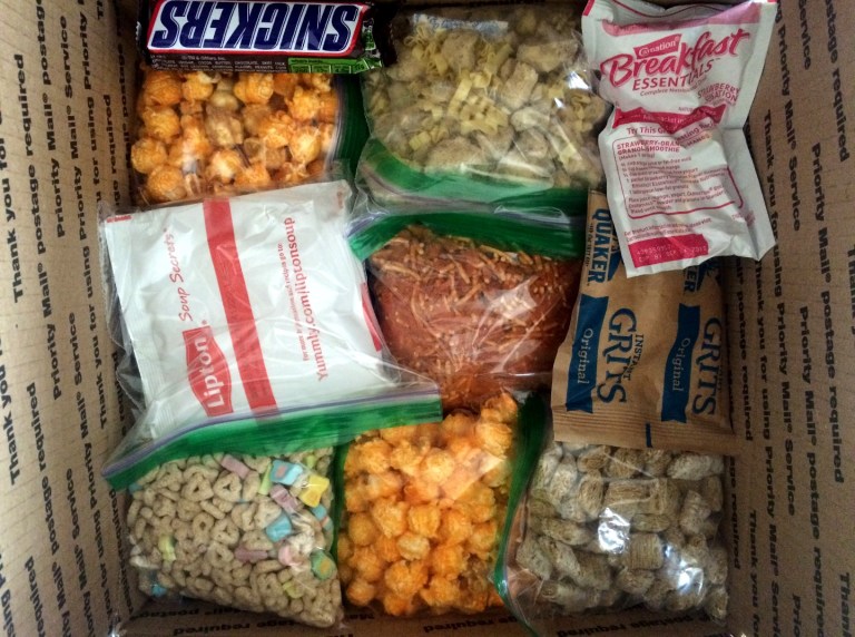
This helpful hint isn’t going to help you Europeans (because the cost of shipping is too high) but if you’re originating from either Alaska or the Lower 48, a great way to save money is to ship food to yourself along the river. This isn’t necessary in Canada because Whitehorse, Carmacks, and Dawson all have road access and therefore cheap grocery stores. But once you cross the border into Alaska, food in the villages gets very expensive. I mailed food to Circle, Galena, and Holy Cross. You’ll want to send your packages six weeks ahead of you and its polite to call the village postmasters in advance and ask permission. On the packages write- PLEASE HOLD FOR KAYAKER, in bold letters, along with the approximate date of arrival. If you’re running behind schedule, call the post offices and make sure they don’t return your packages. Remember; the post office won’t be open on weekends or holidays, so adjust your schedule accordingly.
I bought a cheap dehydrator and saved money on shipping by drying canned food. This works well and canned food rehydrates beautifully.
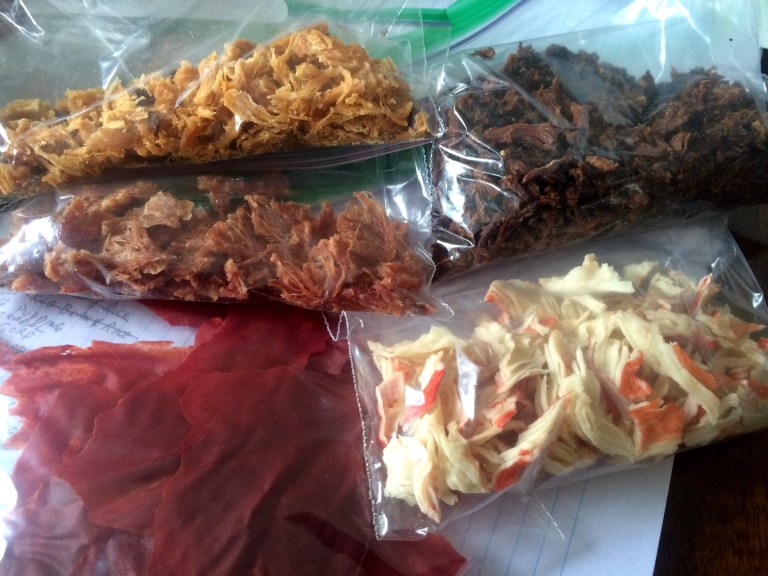
In retrospect; I would have doubled bagged ALL the food as some of it (like the cereal) ended up being stale when opened. Major bummer- but still edible.
Books: Their are two guidebooks you should have for the journey. #1- Paddling the Yukon River and its Tributaries by Dan Maclean.
This is probably the only guidebook for the entire Yukon River. It has maps, mile markers, and sound advice. Half the book is related to Tanana, Porcupine, and Koyukuk rivers and can be discarded to save weight. Its a good book but I wish it had street maps of the villages. I’d arrive in big towns like Galena or Tanana (which are miles long) and not know where the heck the store, post office, washeteria, or camping spots were. Perhaps these maps will be added in the next edition or better yet- Google them and print your own.
Another valuable guide is Yukon River- Marsh Lake, Yukon to Circle, Alaska by Mike Rourke. This spiral bound book is a necessity as it contains high detailed maps along with in depth history of the area, camps, and places of interest. If you buy Mike’s guide online, be sure you get the latest version- NOT the one on Amazon.com from 1985. You can find it in Whitehorse at Kanoe People. Its only downside is that it doesn’t indicate latitude or longitude, so its best to have another map which can be used with a GPS. Or use the inReach device which I talk about below.
Speaking of maps- check out www.hillmap.com Here you can download high quality maps and print them FOR FREE. I also like that you can compare the Google satellite imagery side by side. I use the 1:250,000 scale and print on Nat Geo waterproof paper . I print on BOTH sides of the paper to reduce waste, then number the maps to keep them in order.
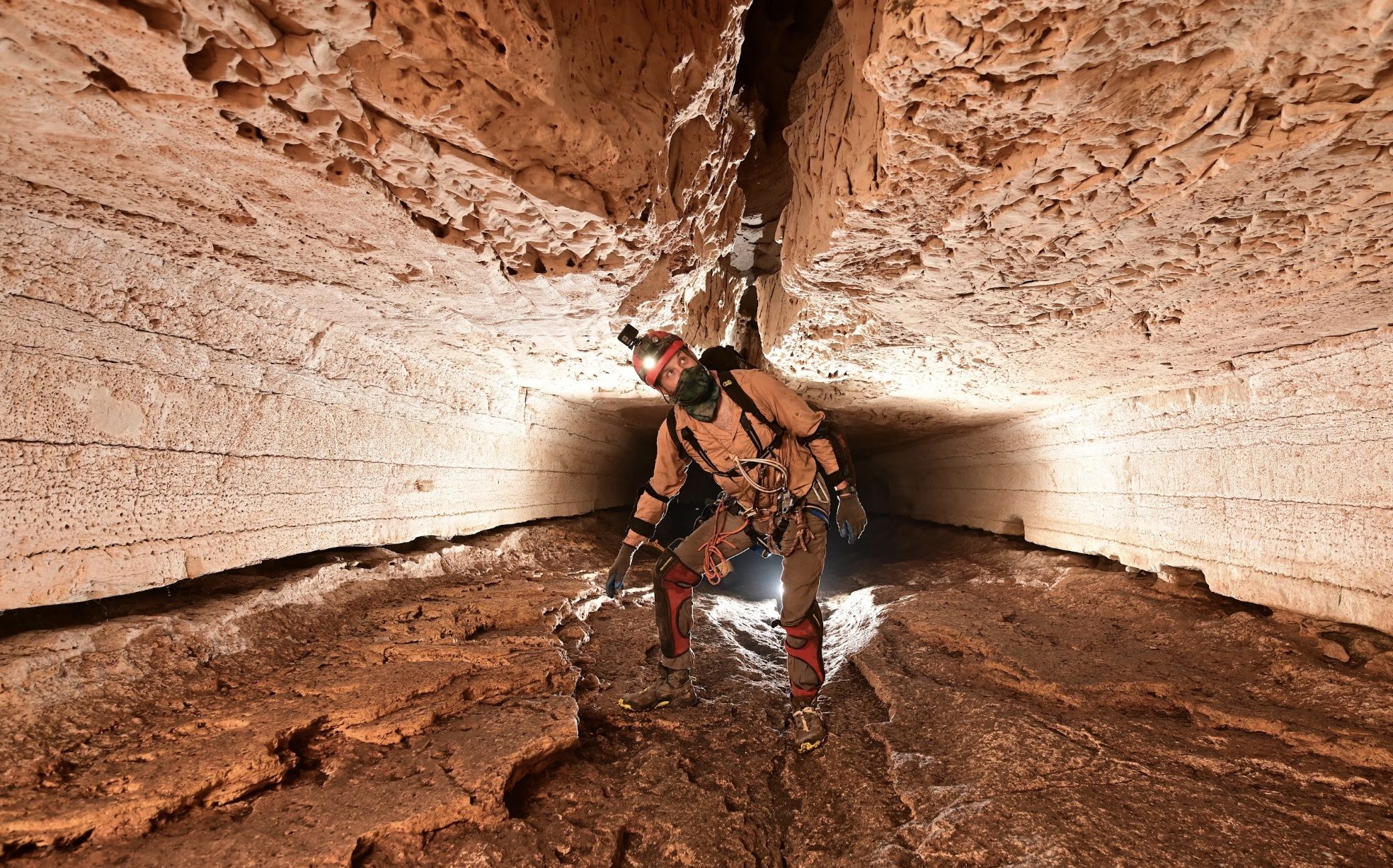
Here’s another nifty gadget that I was very happy to have along.
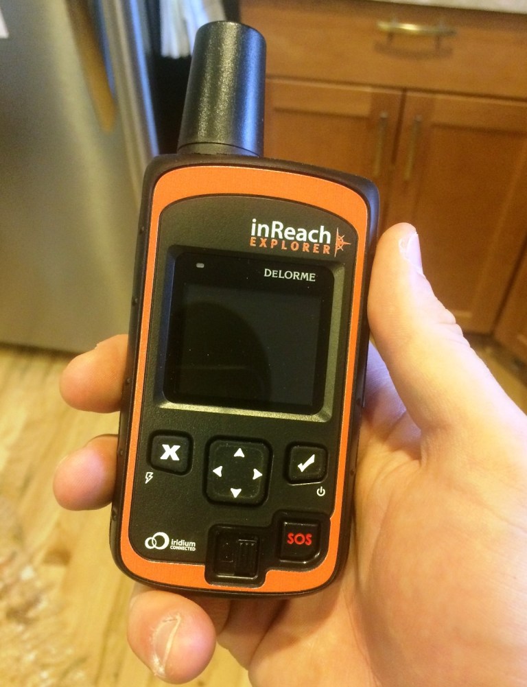
The inReach uses a global satellite network to send text messages, emails, posts, tweets, and the like from anywhere! It can link to an iphone via Bluetooth (which makes texting WAY easier) and can also replace a GPS. Download maps to your phone and BAM- now you got a mapping program that shows EXACTLY where you are. Another nifty feature is the SpotCast weather forecaster. It really is worth the extra bucks per month. I paid special attention to the wind direction and speed. Why paddle in a 20 knot headwind if its going to be calm in an hour? Have lunch instead.
In my opinion the inReach replaces the need for a satellite phone. Its lighter, cheaper, and only requires a monthly installment which can be cancelled at any time. Check it HERE. Remember- YOU STILL NEED MAPS AND COMPASS! Just in case you drop it in the water.
One cool thing I didn’t expect was that other river travelers had the inReach as well! This made communication between groups possible when traveling separately. “Hey Dave, there’s a bear near the confluence of the Salmon River- best to avoid camping there. Camp with us instead! Here are our coordinates.”
