After our Brooks Range packrafting trip the year before, Galen and I decided on an excursion a little more local and quite a bit cheaper too. We departed my cabin on foot and followed the trail up the Chickaloon River. Our goal- Talkeetna, about 120 miles away. In early June, the water levels were still low and we were able to cross the Chickaloon River about 3 miles north of Moss Creek. (This is an exception to the rule as typically Moss Creek is extremely hard to cross let alone the Chickaloon.)

Galen making his way out of the Chickaloon Valley
We decided not to bring white gas. Our packs were already heavy and cooking over an open fire is fun anyway. I’d heard other packrafters were using hobo stoves so I decided to make one out of a tin can and try it out. It worked OK. It should be noted that if it rains hard, and you plan to cook with wood- you will be eating a cold meal. Aren’t hobo stoves supposed to be for ‘urban’ survival?

Next time I’d cut that hobo stove in half


Easy hiking on the way to the Talkeetna Headwaters

Talkeetna River
We floated the Talkeetna River for 34 miles. The put in was PR3. I’ve always found glacial rivers to be a bit intimidating but the river braids after a few miles and mellows out. There is one other rapid above Prairie Creek- be on the lookout.

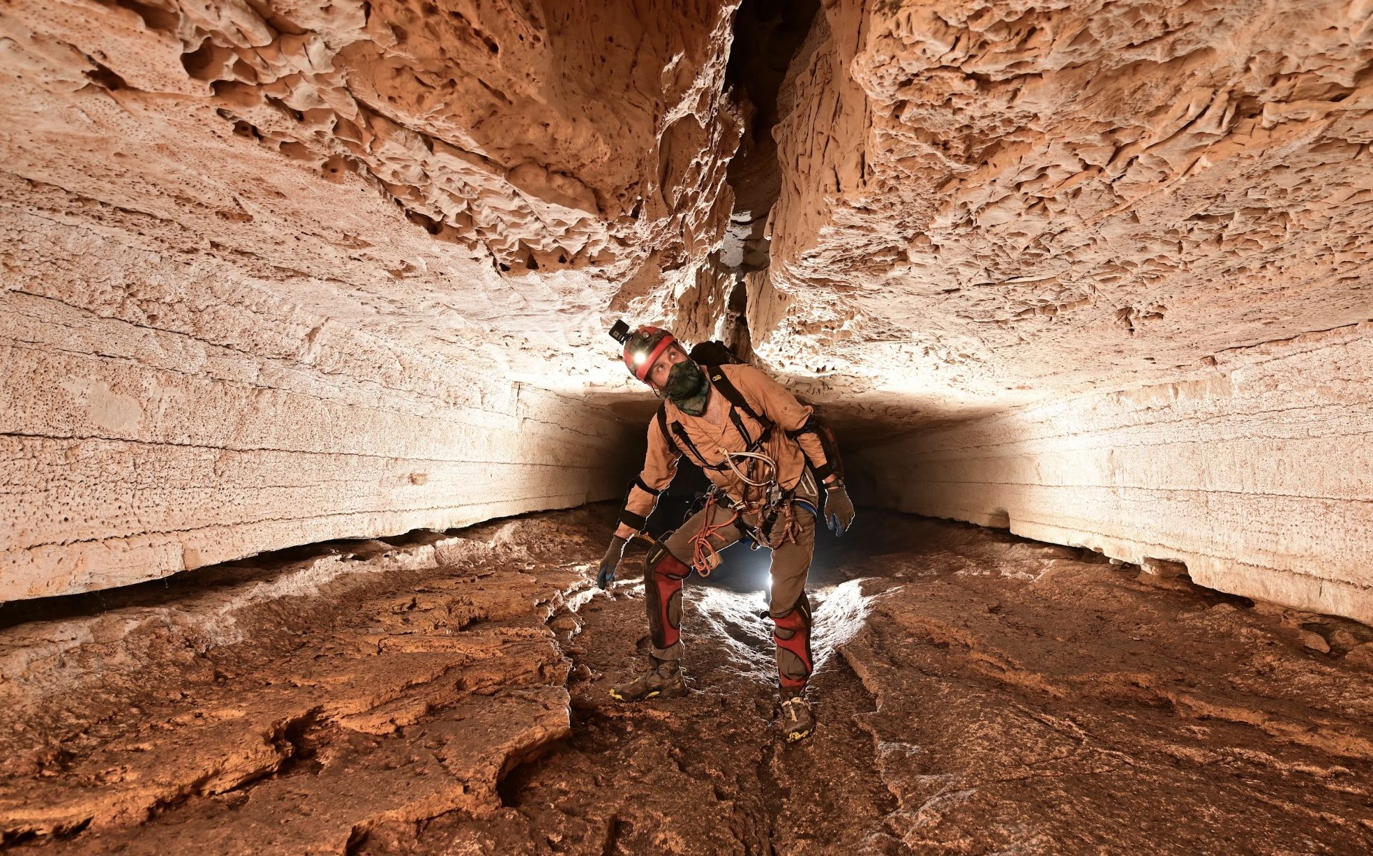
The 18 mile portage to Clear Creek (Chunilna). Galen crosses a beaver dam on Cache Creek.


You can’t beat Alaskas wildlife- my first wild wolverine. He’s cute, but he’ll rip your face off!

The hellacious bushwhack near Clear Creek. As you might imagine there are tons of black bears in the area.

Clear Creek is a packrafters dream. You can take the train from Talkeetna, jump off, hike to the creek, then float back to Talkeetna. The fishing is pretty good too. Don’t bother trying to hike all the way to the headwaters as there is a lot of trees in the river there. I’d put in a few miles above the canyon.
Our trip was 9 days. 58 miles of hiking, 63 miles of floating.

Hello there,
This looks like an amazing trip you took. In fact, my best friend and I are going to get flown into the airstrip at the north end of Talkeetna glacier on September 2nd, and going to explore the area and get picked up at the 30 mile airstrip on the Chickaloon river. Please, if you have any info, beta, or pointers for us, please let me know. I’m very curious how you made the traverse from the Chickaloon to Talkeetna. I see on my map a very small canyon/gorge between the two rivers and am wondering if that is passable by any means. Anyhow, I love your website and hopefully will hear back from you soon with some sound advice.
Happy Trails,
Jess
Hi Jess, I sent you a map with notes to your email address. Let me know if you get it.
D~
Hey Dave,
Thanks again for the info. We tried to get into that area that I mentioned in my first reply, but weather kept our pilot from being able to fly us into that area. I can’t find the email you sent me with maps and notes. Could you send me that again? We are planning to get out in that area again, and would appreciate any advice that you would offer.
Thanks,
Jess
Hey Dave!
I’m looking to do the Chickaloon to Talkeetna River Traverse and you’re the only person I have been able to find who has done it. I had a few general questions about the Chickaloon trail and best way to go about getting up and over. Also, at what point does the Talkeetna become floatable? Seems like most people start at Buck Stewart but looks to be quite a bit of river above Buck Stewart that looks floatable. Any beta would be greatly appreciated!
Thanks!
-Luke
Hi Luke,
It’s a beautiful trip but also tough. I brought a friend up there once with very little experience (and out of shape) and we had to turn around and hike out. The Chickaloon River is Class 4 until the glacial melt slows in the fall, so floating out isn’t advised unless you are an expert packrafter, or it’s running at lower levels (Still Class III, usually indicated by a glacial-blue color). Word to the wise.
The trail is on the left side of the river when headed upstream. This trail isn’t used much anymore and if you lose it, just head back towards the river where you are likely to find a game trail. About 5.5 miles above Moss Creek (a difficult crossing), you will need to ford the Chickaloon. This can be challenging at high water levels. We crossed on foot and hunters do it on horseback. The river is braided and shallower than it first appears. If you don’t cross, you’ll eventually get cliffed out. Once on the right-side of the river and near the head of the valley, you will see a prominent game trail going up a steep ridge. This is straightforward, and once near the top there is less bushwhacking. Once you are on the Talkeetna side, you can inflate your packrafts at the confluence of Clear Creek.
The Talkeetna River is fast here but not overly difficult (Class II). I do not see ‘Buck Stewart’ on my map. Most people fly in and start the Talkeetna River at Yellowjacket Creek where there is a gravel airstrip.
***Remember, you must take out near Prairie Creek or risk going into Talkeetna Canyon (High Volume Class IV in large rafts, probably Class V in a packraft). There is lots of bushwhacking to Chunilna and bears galore.***
Dave
P.S. A drysuit and an InReach is advised.